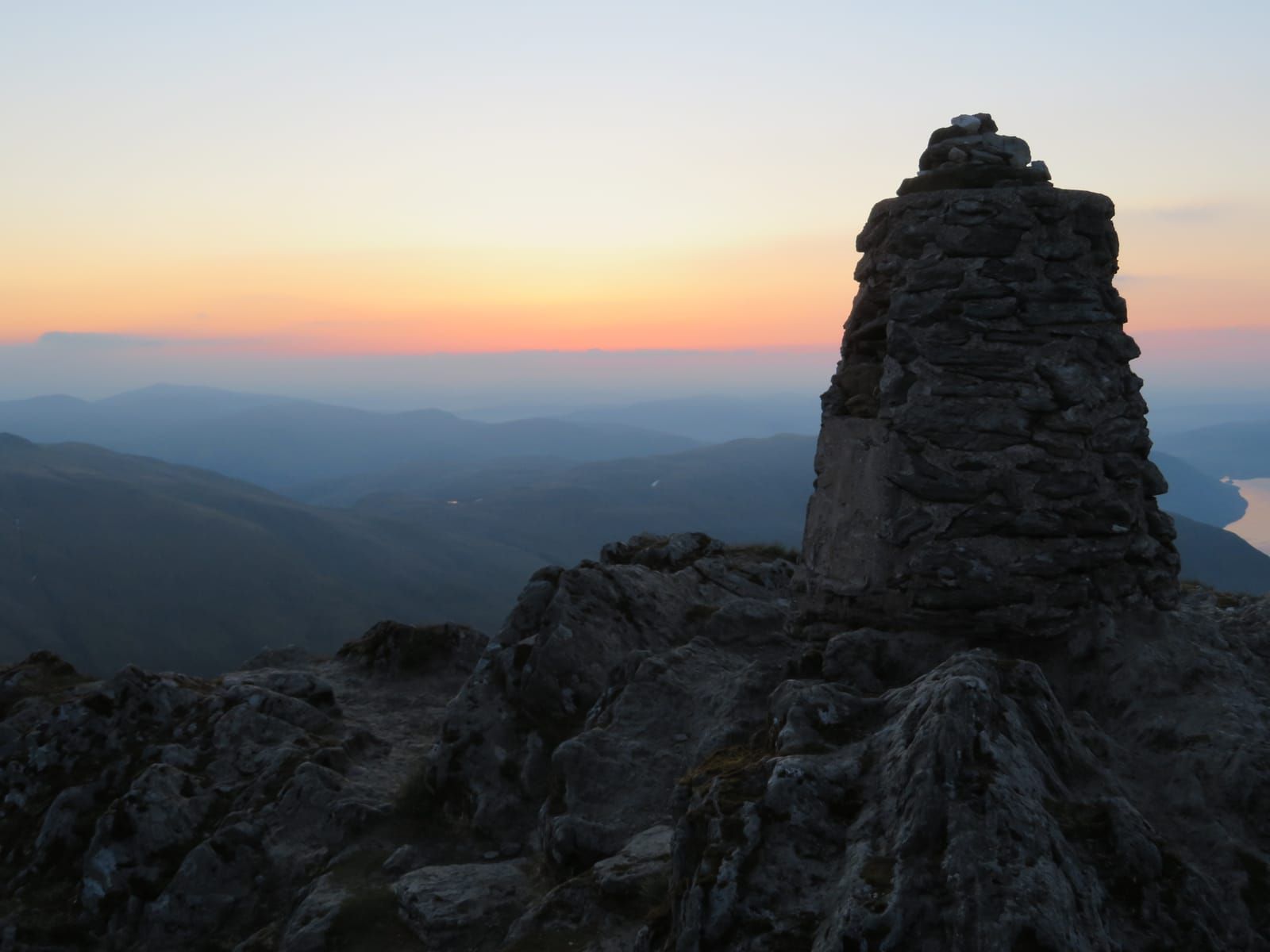
Ben Lawers Summit via Beinn Ghlas
The classic Munro route up Scotland's 10th highest peak, with two summits and stunning views across the Highlands.
Popular guides
More outdoors
Find by type
Our favourites
Makers & artisans
Shops & local produce
Easy walk
An easy, family-friendly loop exploring the remarkable alpine flora of the Ben Lawers National Nature Reserve.
Distance
2 km
Duration
1-1.5 hours
Route type
circular
Parking
NTS car park (small fee for non-members)
This gentle loop walk explores the lower slopes of the Ben Lawers National Nature Reserve, offering a genuine taste of the mountain’s world-renowned alpine flora without any serious climbing. It’s ideal for families with older children, less mobile walkers, birdwatchers, or anyone who wants to understand why Ben Lawers is considered the most important site for mountain plants in the entire United Kingdom. The trail is thoughtfully designed and beautifully maintained by the National Trust for Scotland, and it rewards slow, attentive walking far more than speed.
Before describing the route, it’s worth understanding why you’re walking through such special ground. Ben Lawers is built from calcium-rich Dalradian schist — a crumbly, mineral-rich rock that weathers to produce an unusually fertile mountain soil. While most Scottish mountains are acidic (granite and quartzite producing thin, peaty ground that supports only heather and coarse grass), Ben Lawers’ alkaline soils support an extraordinary diversity of arctic-alpine plants — species that survive here as relics of the last Ice Age, clinging to the high ground as the climate warmed and forests covered the lowlands.
Over 400 species of flowering plant have been recorded on Ben Lawers and its neighbouring peaks. Many of these are nationally rare, and some — such as certain hawkweeds — are found nowhere else on earth. The nature trail introduces you to this remarkable botanical story without requiring you to climb to the summit.
The trail begins from the National Trust for Scotland car park on the mountain road connecting the A827 (Loch Tay north shore road) to Bridge of Balgie in Glen Lyon. The turn-off from the A827 is signed for Ben Lawers, about 6 miles east of Killin. Follow the single-track road uphill for approximately 2.5 miles. The car park is on your left at around 450m altitude.
A small parking fee applies for non-NTS members (around £3 — check the honesty box or pay machine). NTS members park free. There are no toilets or other facilities at the car park, so come prepared.
From the car park, pass through the gate at the information board and follow the signed nature trail heading north. The path is well-constructed with stone pitching and is clear to follow throughout. Within the first hundred metres, you’ll encounter the first of around a dozen interpretation boards spaced along the route. These are well-written and informative, covering topics including:
These boards are excellent for older children (roughly 8+) and will hold the interest of adults who enjoy natural history. They turn a short walk into a genuinely educational experience.
The first section of the trail climbs gently through species-rich grassland on the south-facing slopes above the car park. Even before you gain much height, the diversity of plants underfoot is noticeably different from the moorland you drove through to get here. In June and July, look for:
The grass itself is a mix of fine fescues and bent grasses, nothing like the coarse purple moor-grass that dominates most Highland hillsides.
As the path curves around the hillside and gains a little more height, you’ll enter a zone of shorter, wind-clipped vegetation with more exposed rock. Here the alpine character becomes stronger. Look for mossy saxifrage (Saxifraga hypnoides) forming white-flowered cushions on rocks, and the silvery rosettes of roseroot (Rhodiola rosea) on damp ledges.
Near the highest point of the trail, at around 550–600m, you’ll pass the remains of an old shieling — a rough stone structure that was once a summer dwelling used by farming families who brought their cattle up to the high pastures to graze during the warmer months. This practice, known as transhumance, was common throughout the Highlands until the 18th and 19th centuries. The ruins are modest — low stone walls now barely rising above the heather — but they’re a poignant reminder that this landscape, wild as it looks, was once a working agricultural environment.
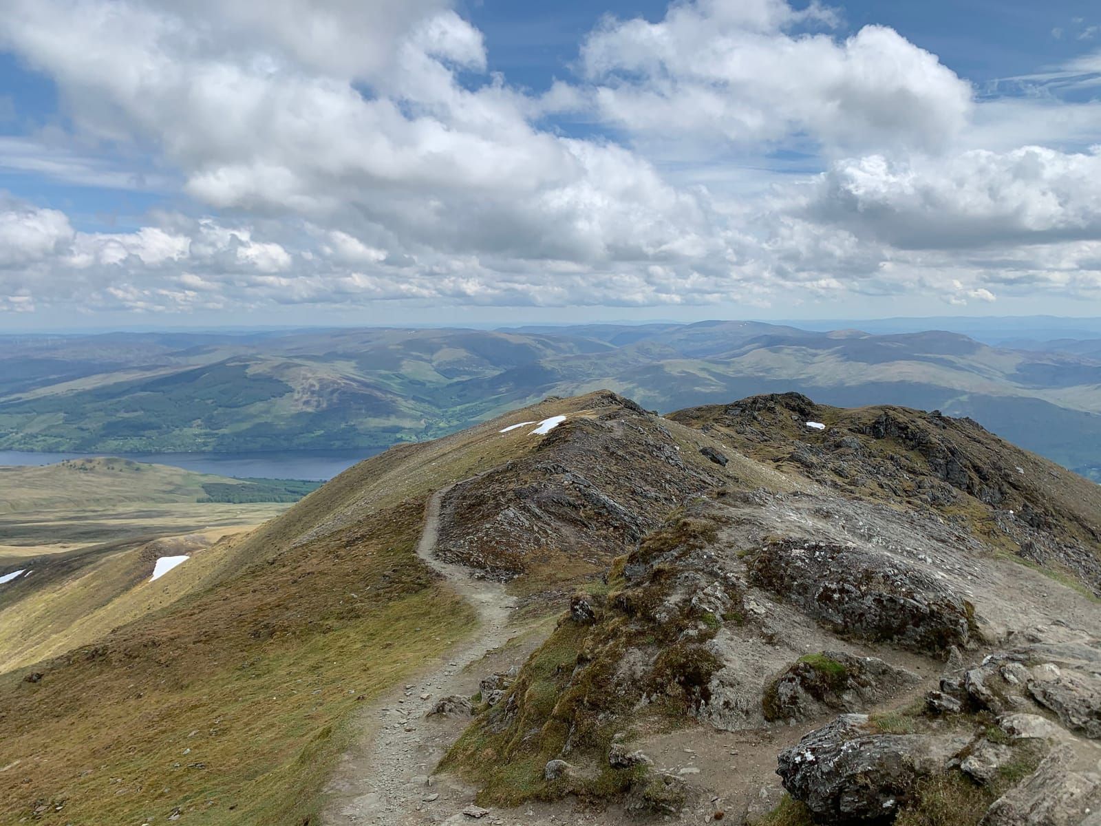
The upper section of the trail offers the best views down to Loch Tay, which stretches eastward below you like a broad silver ribbon. The loch is 14.5 miles long and reaches depths of over 150m — it’s one of the great freshwater bodies of Scotland. On clear days, you can see its full length, from the western end at Killin to the wooded narrows near Kenmore in the east.
Beyond the loch, the hills of the south shore roll away — the Tarmachan ridge is prominent, a long undulating skyline. To the north and west, the higher peaks of the Ben Lawers range rise above you, and you may see walkers on the path climbing towards Beinn Ghlas and the summit. On the clearest days, the distant Trossachs and even the Lomonds of Fife are visible on the southern horizon.
This viewpoint is the natural place for a rest and a snack. There are flat rocks to sit on and, on calm days, a wonderful sense of space and quiet.
The trail loops back down to the car park via a slightly different route on the eastern side of the slope. The descent is gentle and the path well-maintained. This lower section passes through areas of taller vegetation — patches of heather and bilberry mixed with grassland — and is good territory for butterflies in summer.
The slopes around the nature trail are frequented by red deer, particularly in autumn and winter when the hinds and calves move down from the higher ground. In summer, you’re more likely to see them in the early morning or late evening. They’re wary but not especially shy — sit quietly and watch from a distance if you spot them.
The grassland and moorland around the trail supports a good range of upland birds:
In warm summer weather, the nature trail can be surprisingly good for butterflies:
The nature trail is well-suited to families with older children (roughly 7 or 8 and above). The distance is short, the climbing gentle, and the interpretation boards give children something to engage with beyond just walking. Younger children may find the trail manageable in dry conditions, but the terrain is uneven in places and not suitable for pushchairs or buggies.
The trail is not suitable for wheelchairs — while the path is well-maintained, it’s a mountain path with some rocky and uneven sections. The gradient, though gentle for a mountain, would be difficult for most wheelchair users.
Good footwear is important — walking boots or sturdy walking shoes are recommended. Trainers are adequate in dry summer conditions but will be uncomfortable on rocky sections and inadequate if the ground is wet.
The nature trail shares its first few hundred metres with the main path to the summit of Ben Lawers. If you’re walking the nature trail and feeling strong, you could in theory continue upwards towards Beinn Ghlas and the summit — but this is a very different proposition, requiring full mountain equipment, a map and compass, and 5–6 hours. Don’t be tempted to “just keep going” without proper preparation. The full summit route is described in our Ben Lawers Summit guide.
The car park has no facilities — no toilets, no water, no refreshments. Bring everything you need with you. The nearest public toilets are in Killin (6 miles west) or Kenmore (10 miles east). Both villages have cafes, pubs, and shops for post-walk refreshments.
New guides, seasonal tips, and the odd hidden gem — straight to your inbox. No spam.
We respect your privacy. Unsubscribe anytime.