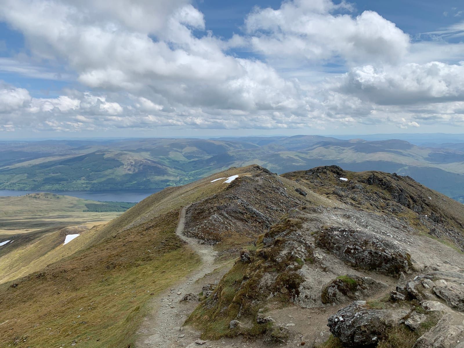
Glen Lochay River Walk
A peaceful, easy walk along the River Lochay through one of Perthshire's quietest and most beautiful glens.
Popular guides
More outdoors
Find by type
Our favourites
Makers & artisans
Shops & local produce
Easy walk
A short, easy walk exploring the famous Falls of Dochart and the ancient Clan MacNab burial island in the heart of Killin.
Distance
1 km
Duration
30-45 minutes
Route type
circular
Parking
Free car park beside the falls
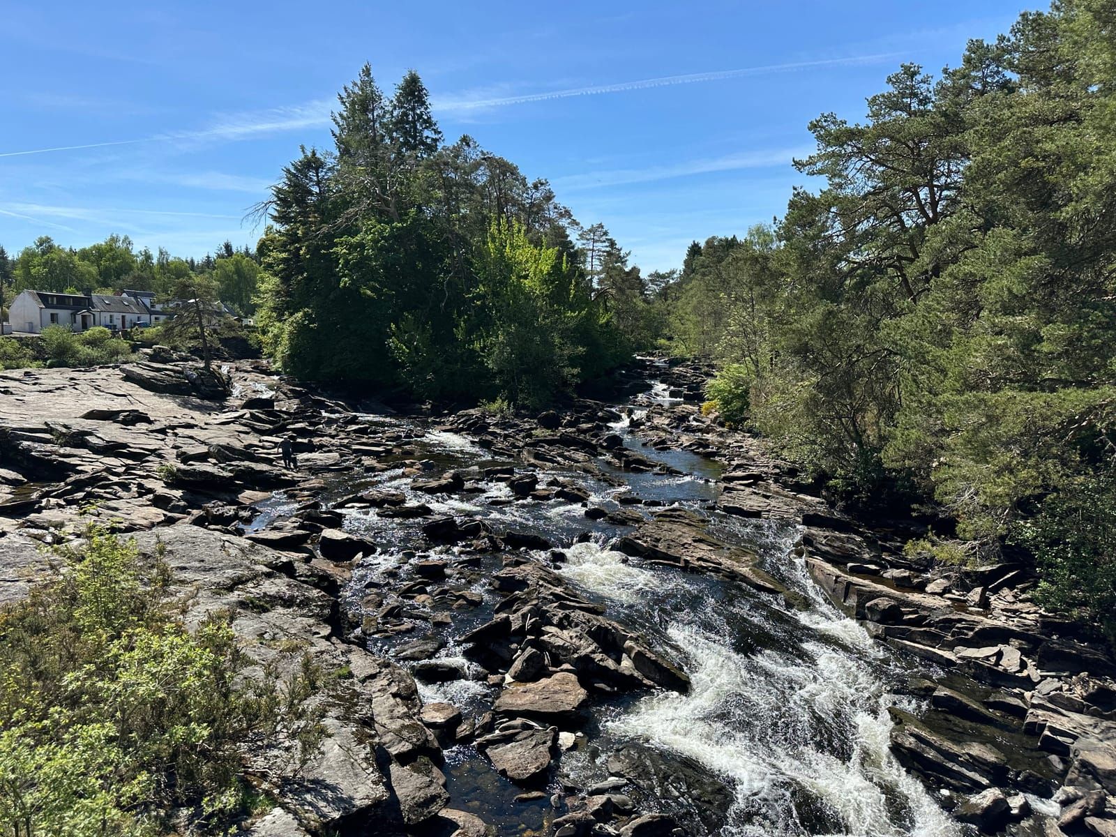
The Falls of Dochart are one of Scotland’s most iconic and accessible natural spectacles — a thundering, wide cascade of white water that surges through the heart of Killin village before emptying into Loch Tay. This short walk takes in the falls themselves, the ancient Clan MacNab burial island of Inchbuie, and a peaceful stretch of the lower River Dochart. It’s suitable for almost everyone and takes only 30–45 minutes at a leisurely pace, making it the perfect introduction to the Loch Tay area or a satisfying leg-stretch at the end of a long day.
What makes this walk exceptional is the sheer immediacy of it. There’s no trudge along a forestry track to reach something hidden — you step out of the car park and the falls are right there, roaring across a broad shelf of ancient Dalradian schist. On a summer afternoon you’ll share the bridge with dozens of visitors, cameras aloft. On a grey Tuesday morning in February, you might have the place entirely to yourself, the sound of the water filling the glen.
The main Falls of Dochart car park is located on the south side of the A827, immediately beside the bridge in the centre of Killin (postcode FK21 8SL for sat-navs). The car park is free and relatively spacious, though it fills quickly on summer weekends and bank holidays. There are no height barriers, so campervans can use it. If the main car park is full, there’s additional parking at the Breadalbane Folklore Centre a short distance east along the main road, and occasional spaces along the village streets.
From the car park, walk a few steps north towards the old stone bridge that carries the A827 over the River Dochart. This three-arched bridge, dating from at least the 18th century, is the single best viewpoint for the falls. Lean over the downstream parapet and you’ll see the river spread across its full width — a chaotic, churning expanse of white water pouring over and between great slabs of grey rock. The falls aren’t a single vertical drop but rather a long, dramatic series of cascades and rapids extending for several hundred metres. It’s a scene that has stopped travellers in their tracks for centuries.
On the upstream side of the bridge, the view is calmer — the river approaches through a narrower channel flanked by trees and old stone walls. The contrast between the placid approach and the explosive energy of the falls is striking.
From the north end of the bridge, look for the small gate and path on the left, signed for Inchbuie Island. A set of stone steps leads down to a small wooden footbridge that crosses the southern channel of the river to the island itself. The steps are uneven and can be slippery, so take care — this short section is not wheelchair accessible.
Inchbuie sits between the two main channels of the falls, and the sense of being surrounded by rushing water is remarkable. The island is shaded by mature sycamores, Scots pines, and beeches whose roots grip the rocky ground. In the dappled light beneath the canopy, you’ll find a scattering of old gravestones — some weathered almost beyond reading — marking the burial place of the chiefs of Clan MacNab. The MacNabs held these lands for centuries, and Inchbuie was their sacred ground. Even now, there’s a quiet solemnity to the place that the sound of the water only enhances.
Take your time here. The island is small enough to walk around in a few minutes, but the atmosphere rewards a slower pace. In autumn, the leaf colour above the dark river is exceptional.
Return across the footbridge and back up to the road. Cross the bridge to the south side and pick up the path that follows the River Dochart downstream towards Loch Tay. This section is mostly flat and easy, running along the river bank through a mix of grass and flat, smooth rocks.
The rocks along this stretch are broad and sun-warmed on good days — local families use them for picnics and sunbathing in summer. You’ll see the river gradually broadening and calming as it leaves the turbulence of the falls behind. Dippers — small, dark birds that bob on mid-stream rocks before plunging into the current — are common here, and you may spot grey wagtails flitting along the water’s edge.
Continue downstream for as far as you like. The path reaches the point where the River Dochart enters Loch Tay, where the water finally stills and opens out. On a calm day, the reflections of the surrounding hills in the loch are beautiful. This is a natural turning point — retrace your steps back to the car park.
For those wanting a slightly longer outing, you can extend the walk by picking up the line of the old Killin branch railway, which once connected the village to Killin Junction on the Callander & Oban line. The trackbed runs roughly parallel to the south shore of the river and is now a pleasant, level path through birch and alder woodland. It’s easy underfoot and adds around 1.5 km to the walk if you follow it eastward towards the old station site and back. Interpretation panels along the way tell the story of the railway, which closed in 1965.
The Falls of Dochart are rewarding at any time of year, but the character of the walk changes dramatically with the seasons.
Winter (December–February): In hard frosts, the spray from the falls freezes on the surrounding rocks, creating extraordinary ice formations — curtains of icicle, glazed boulders, and frozen pools at the margins. In exceptional cold spells, parts of the falls themselves can freeze, though the main flow rarely stops entirely. The bridge viewpoint on a crisp winter morning, with frost on the stonework and ice lacing the rocks below, is unforgettable. Take care on the paths, which can be icy.
Spring (March–May): Snowmelt from the Ben Lawers range and the surrounding hills turns the Dochart into a torrent. The volume of water crashing through the falls in April can be astonishing — twice or three times the summer flow, a wall of brown-tinged water surging over every ledge. It’s loud, dramatic, and thrilling. Spring also brings wild garlic and bluebells to the woodland along the river.
Summer (June–August): The falls settle to their most photogenic state — still powerful, but with enough exposed rock to show off the patterns and textures of the schist. Evenings are long, and the low-angle light on the water is beautiful. The rocks downstream are warm enough for sitting on. This is the busiest season — arrive early or late for quieter conditions.
Autumn (September–November): The trees on Inchbuie and along the river banks turn gold and copper, framing the white water beautifully. Salmon can sometimes be seen leaping the falls in October and November on their way upstream to spawn — a remarkable sight if you’re fortunate enough to witness it.
Killin is well served for a village of its size. Within a two-minute walk of the car park, you’ll find:
There are also public toilets in the village centre, a well-stocked Spar shop, and the Breadalbane Folklore Centre (housed in the old St Fillan’s Mill), which is worth a visit for its displays on local history and legend.
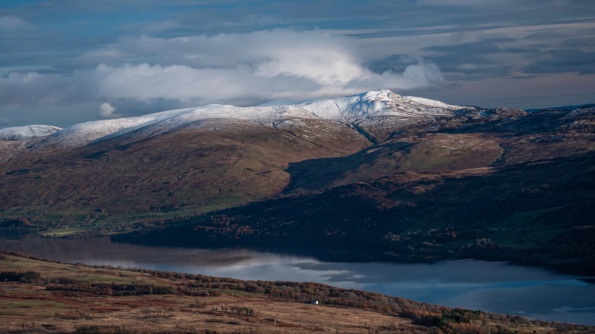
This walk pairs naturally with the Killin to Loch Tay Shore walk, which continues downstream to the loch itself. Together they make a relaxed hour’s walking. You can also drive up Glen Lochay for a completely different — and much quieter — river experience on the same day.
More walks
New guides, seasonal tips, and the odd hidden gem — straight to your inbox. No spam.
We respect your privacy. Unsubscribe anytime.